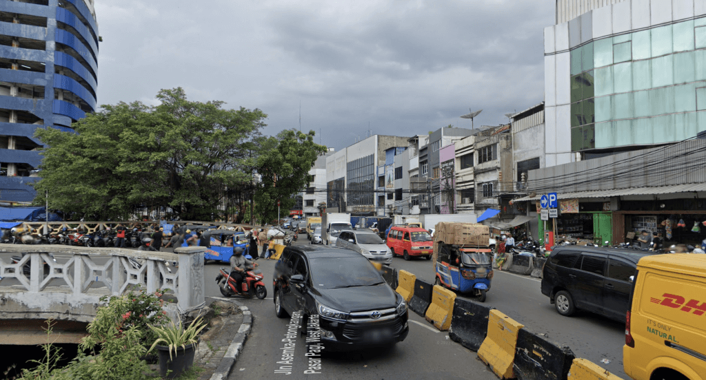
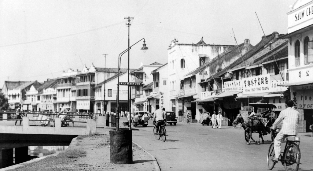
The section between Kali Besar and Pancoran these days is called Jalan Pintu Kecil. However in colonial Jakarta this stretch existed of two parts: “Pintoe Ketjil” between Kali Besar and the intersection Asemka-Petak Baru-Petongkangan, and “Kali Besar Zuid” between this intersection and Toko Tiga where the road continued as Pantjoran (now Jalan Pancoran).
Original course of the Ciliwung River
Kali Besar Zuid followed the original curved course of the Ciliwung River that was just outside the walls of 17th century Batavia and wasn’t straightened when the city was constructed in 1629.
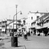
Today the aforementioned intersection is dominated by the Pasar Pagi flyover and modern ruko (rumah toko) have all replaced the lovely characteristic Chinese style shophouses along the west bank of the river. However 83 years ago Kali Besar Zuid was a lively and photogenic part of Batavia, and also known by the locals as “Kali Besar Tjina” (Chinese Kali Besar).
Old and modern buildings
On this photo from 1940 we can clearly see the street sign “Kali Besar Zuid” just before the bridge on the left over the river that led to Asemka and Stationsplein (Lapangan Stasiun). In between the original 19th century Chinese shophouses and eateries already a few modern early 20th century buildings. All of these have since been demolished (see the modern photo in the comments section).
[source photo: NMVW, the Netherlands]