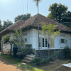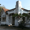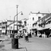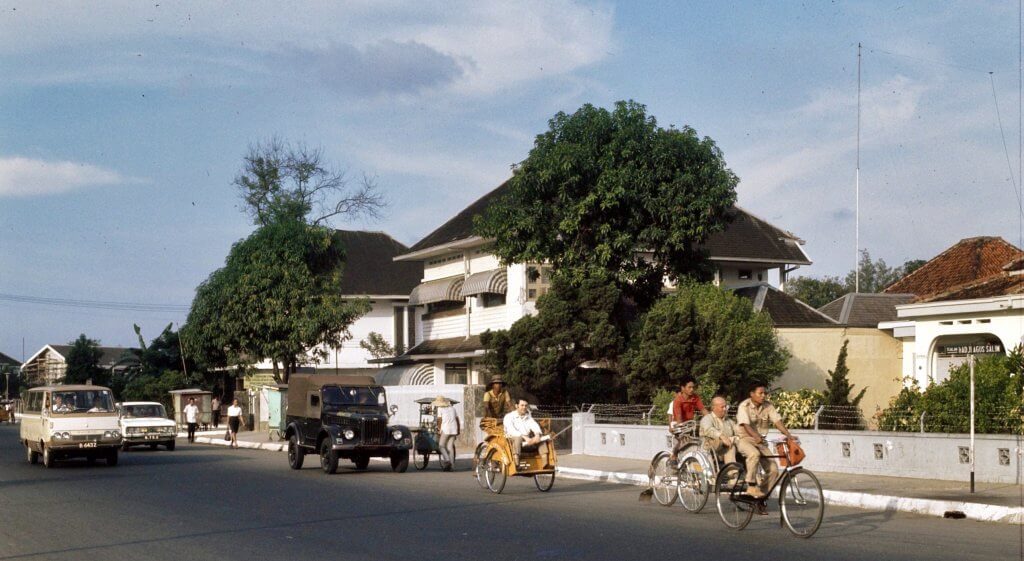
A suburban scene on Jalan Haji Agus Salim nearly half a century ago. The photo has been taken on the most southern end of the road which is now known as Jalan Pamekasan (between Jalan Imam Bonjol and the intersection of Jalan Sumenep with Jalan Sudirman). We are looking north towards Jalan Imam Bonjol, which is not visible on this photo. The single level house on the right stands on the corner with Jalan Sumenep and still stands today although it is empty and in poor condition. In between the two double storey houses is the turnoff to Jalan Kusuma Atmaja (formerly Jalan Tosari).
Jalan Pamekasan
On 1971 maps this street is already mentioned as Djalan Pamekasan, although the street sign on this photo still says Djalan Haji Agus Salim. The northern end of this street, between Medan Merdeka and Gereja Theresia was known as Laan Holle until July 1950 when it changed into Jalan Sabang although today it is still often referred to as Jalan Sabang and taxi drivers in Jakarta have no problem locating it when you mention this previous street name.
Becaks
By 1960 the road had been renamed into Jalan Haji Agus Salim, after the Indonesian journalist, diplomat and statesman Agus Salim (1884-1954), even south of Gereja Theresia which was previously known as Jalan Gereja Theresia (or: Theresiakerkweg in colonial days). What today is known as Jalan Gereja Theresia was previously named Jalan Sunda (or Soendaweg). On this photo we see a few becaks, which was still a common mean of transport in Jakarta in 1971.
source: National Archives, The Netherlands

